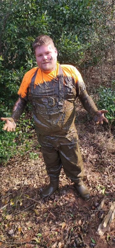
Stuck in the Mud: SEAS Tackles Wetland Surveys
SEAS has been hard at work performing Wetland Reserve Easement (WRE) Surveys in southern Georgia for the USDA NRCS. These surveys take us deep into wetlands, where we establish boundaries, post signage, and mark easement lines to help protect vital conservation areas. It’s muddy work, but preserving wildlife habitats, improving water quality, and reducing flooding makes it all worthwhile!

From Blueprints to Green Spaces: SEAS Brings the Arbours at Crestview to Life
Read about how SEAS partnered with Arbour Valley Communities to design the Arbours at Crestview, a modern 96-unit apartment complex emphasizing sustainability and a "live-work-play" lifestyle. Learn about our civil site design, surveying, and eco-conscious engineering that created this vibrant, community-centered development in Crestview.

Santa Visits SEAS
We wish you a very Merry Christmas from our SEAS Family to yours! SEAS recently held its annual employee Christmas party, and we had a surprise special appearance from Santa himself! Who knew how closely Santa would resemble our very own John Gustin?
Santa brought individual gifts for all of the employee’s children, as well as some special surprise gifts for the employees. The leadership team served up some delicious food and Laura helped lead a fun Christmas game.

Go With the Flow - Assessing Scour Erosion in Pittsburgh Lock and Dam structures
Recently, SEAS partnered with the U.S. Army Corps of Engineers (USACE) in Pittsburgh to perform critical underwater surveys at lock and dam projects. These structures play a crucial role in managing waterways, but over time, water can erode their foundations, potentially weakening them. That’s where our team steps in. These structures do more than control water flow; they’re essential for preventing floods, supporting navigation for shipping, and maintaining a steady water supply for communities and industries.
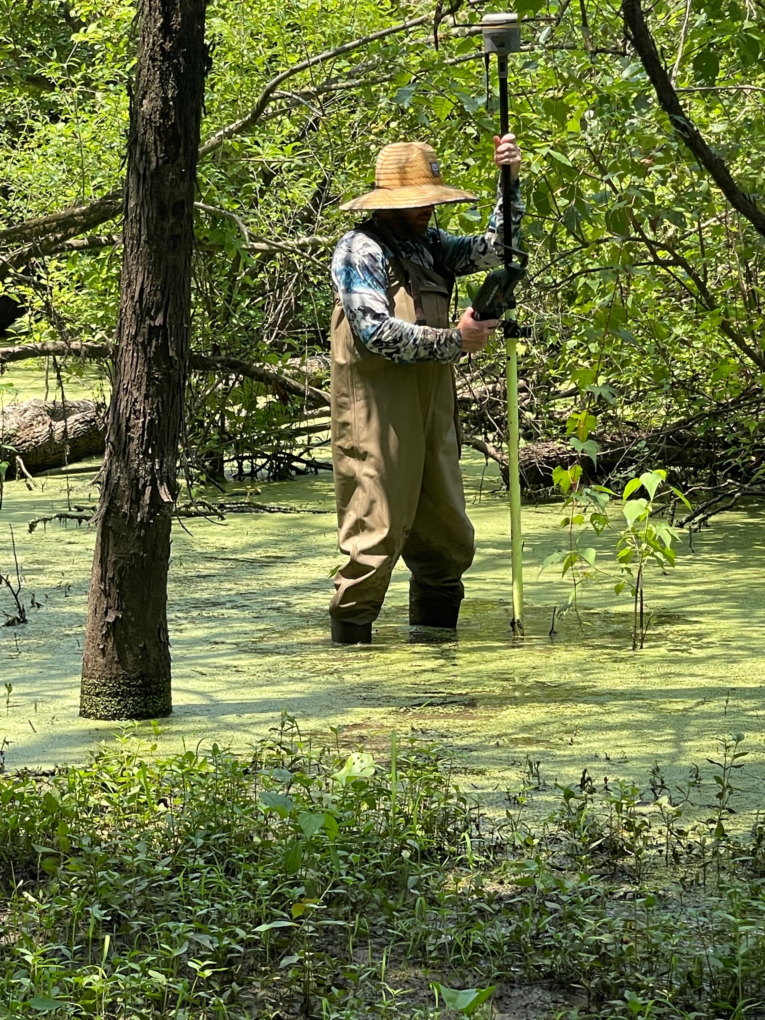
A Full Circle Moment: SEAS's Boundary Survey Uncovers a Family Legacy
Full Circle Moment: While surveying a 325-acre property near Arlington, TN, SEAS team members Kevin and Cody Cannon uncovered a touching piece of their family's history. Among old boundary markers, they found their father’s name from a 1979 survey. With their dad having passed away a few years ago, this discovery was a poignant reminder of the legacy he left behind. It was more than just a survey—it was a heartfelt tribute to family and tradition.

“Trash Talk” - SEAS Enhances Waste Management Efforts at Perdido Landfill with Advanced sUAS Survey
SEAS recently conducted sUAS (drone) surveys over 550 acres of the Perdido Landfill in Escambia County, Florida, using LiDAR and high-resolution imagery. We produced Digital Elevation Models, surface models, and ortho imagery, providing crucial data for accurate volumetric calculations and future planning. Our work supports efficient waste management, contributing to a cleaner, more sustainable community.

SEAS attends Florida Surveying and Mapping Annual Conference
Seaside Engineering and Surveying is at the Florida Surveying and Mapping Society conference in Orlando this week! John Gustin is representing the SEAS crew and hanging with Robert from Navigation Electronics Inc.. Ready to learn and connect - if you're in attendance and run into Johnny, be sure to say hi! 👋
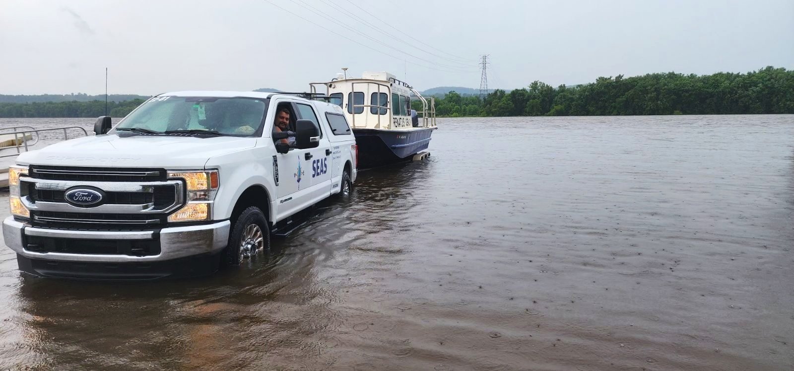
Exploring the Upper Mississippi: SEAS’ Comprehensive Multibeam Dike Survey for the U.S. Army Corps of Engineers
The Upper Mississippi River is a vital waterway, and keeping it safe and navigable is essential for many reasons, including commerce, recreation, and environmental preservation. Recently, Seaside Engineering and Surveying has undertaken a significant project to survey 1,200 submerged dikes along the Upper Mississippi River, spanning over 300 miles and four states. This project is part of an effort by the U.S. Army Corps of Engineers' Rock Island District to ensure the river remains safe and functional.

Bringing Science to Life at the Memphis Zoo: SEAS' Latest Project
At Seaside Engineering and Surveying (SEAS), we're excited to announce our latest venture at the Memphis Zoo! We're performing topographic and LIDAR surveys for the design of a new stingray exhibit and an awesome new zipline adventure. Utilizing advanced technologies, we aim to enhance the zoo experience with precise and innovative designs. This project exemplifies how science and creativity can come together to create something magical.
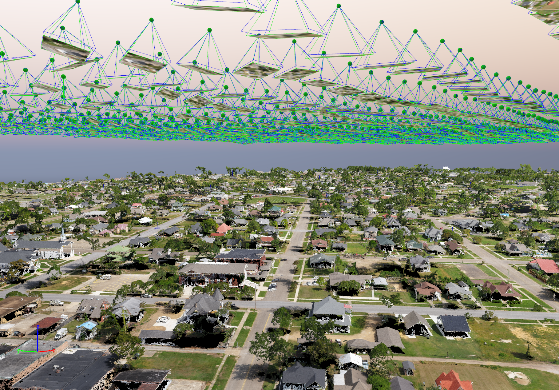
Understanding Photogrammetry: How It Can Enhance Your Projects
At Seaside Engineering and Surveying, we pride ourselves on utilizing the latest technology to provide our clients with accurate and efficient surveying solutions. One such cutting-edge technology we employ is photogrammetry. This powerful technique offers numerous benefits for various sectors, including real estate development, municipal planning, water management, coastal engineering, energy management, and transportation.
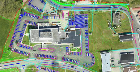
What Survey Do I Need? Understanding the Different Types with Practical Examples
Whether you're a homeowner, a developer, or a government agency, understanding which survey you need is crucial for the success of your project. Let's break down the different types of surveys we provide in layman's terms and offer practical examples of when you might need each one.

Understanding Lidar: Revolutionizing Data Collection Across Industries
Lidar (Light Detection and Ranging) uses laser beams to create precise 3D maps, benefiting various industries:
Architecture & Engineering: Accurate 3D models
Urban Planning: Comprehensive city mapping.
Transportation: Improved infrastructure design.
Healthcare: Better facility planning.
Real Estate: Enhanced land assessment.
Utilities: Efficient infrastructure management.
Water Management: Effective floodplain mapping.
Energy: Optimized renewable projects.
SEAS provides Lidar services in Niceville, Baker, Crestview, Destin, 30A, Pensacola, Panama City, Emerald Coast, Freeport, Navarre, Defuniak Springs, Andalusia (AL), and the Southeastern US.
#Lidar #Tech #Innovation #Florida #SoutheastUSA

SEAS hosts Law Enforcement Appreciation Luncheon
SEAS was proud to host our Annual Law Enforcement Appreciation Lunch on May 14, 2024 at the Crestview, Florida Community Center. The Officers in attendance (from all across Okaloosa County) received a delicious lunch, amazing door prizes, and even MORE amazing RAFFLE prizes! We honor our Law Enforcement and are thankful for their service to our community. We are also grateful for all of our 2024 Sponsors who made this event a great success!
National Surveyor’s Week 2024
In observance of National Surveyors Week, we are highlighting the range of services SEAS offers in the field of Surveying. 🏞️
SEAS Attends Geo Week Conference in Denver, Colorado
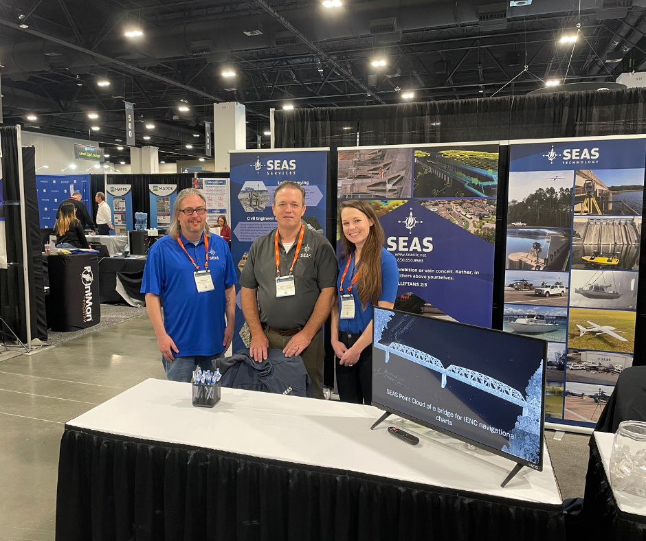
Hello from Denver! 🗻 SEAS is spanning the nation today - in addition to being oceanside in St. Augustine, we are also in attendance at the Geo Week Conference in Denver 👋 Come stop by and see Jerry or Kent - looking forward to seeing you there

SEAS Attends 37th Annual National Conference on Beach Preservation Technology
Hello from St. Augustine, Florida! We are here at the 37th Annual National Conference on Beach Preservation Technology 🏖️ Join us for great conversation and learn how we can support your surveying and engineering needs. And remember to drop off your business card for a chance to win a cool 😎 prize. Hope to see you there!

Davidson Dash 2024
SEAS had the privilege of sponsoring and participating in our local Davidson Dash Run for a Cure 5k last weekend! 🏃 Thanks Cole for braving the weather - great job team!!
SEAS Takes VTOL to Flight
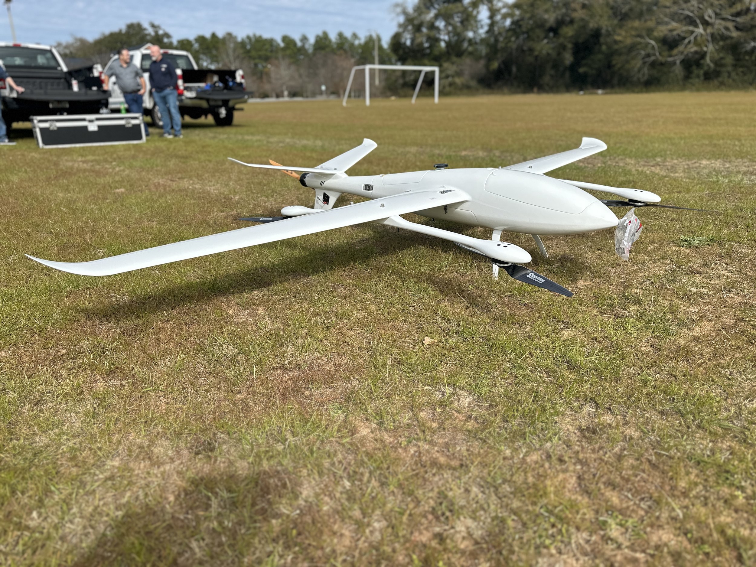
If you were on Highway 189 today and saw something in the sky, don't worry, it wasn't aliens! 😀 👽 SEAS went out Thursday to take our new VTOL Drone (Vertical Takeoff and Landing) for a spin! (check out the vid!)
This Aerial Vehicle will allow our Surveying Team to fly longer missions and cover larger acreage more efficiently. Take a look at our video below and tell us what you think! ✈
