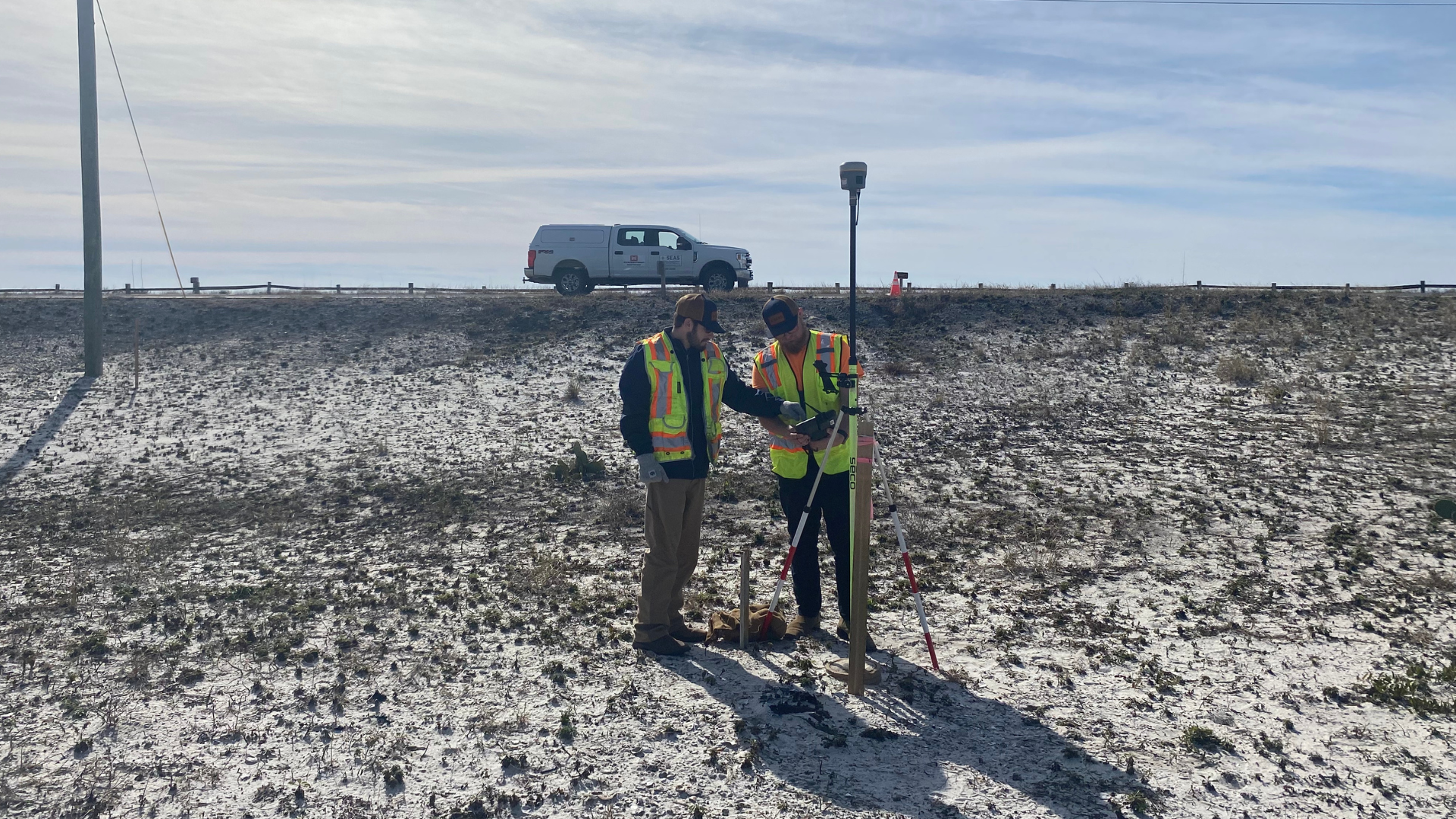
LAND SURVEYING
LAND SURVEYING SOLUTIONS
-

Control Surveys
• Construction Control / Benchmarks
• Control Networks
• Monitoring / Deformation Services
-

Topographic Surveys
• Contours
• Planimetric feature locations (manmade and natural)
• Subsurface Utility Engineering (SUE)
• Location Surveys
• Elevation certificates
• Digital elevation models
• Digital surface models
• Beach Monitoring Survey
-

Boundary/Cadastral
• Real Estate Surveys
• Platting
• Ordinary High Water Line Surveys
• Mean High Water Line Surveys
• ALTA / NSPS Land Title Surveys
• Easements
• Legal Descriptions
-

Construction Staking
• Preconstruction Surveys
• As-builts
• Construction Staking
• Volume Computations
• Beach Renourishment


